


Detour Scherpenisse
Source of the Island
These hiking trails take you to "unknown" places via fun elements and you get to know the landscape and the rich culture (history) of Scherpenisse. These short themed walks (detours) are signposted in Scherpenisse by green signs with yellow direction arrows with the icon of the water tower!
About this detour Scherpenisse
For this walking route (black line on the map below) you follow the green signs with the yellow direction arrows with the water tower icon. The length is 5,2 km. You can also extend the route via the other (junction) numbers of the walking network.
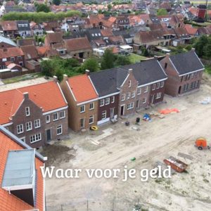
Scherpenisse is the oldest residential center of Tholen. It is already mentioned in 1206.
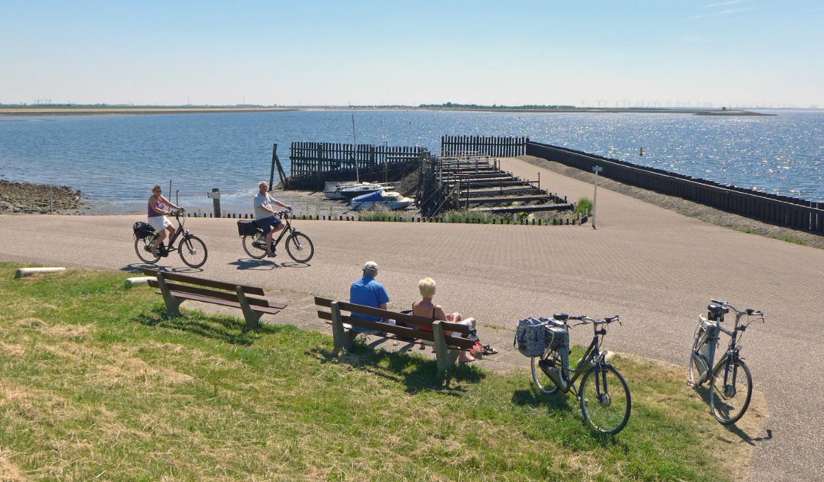
Did you know: The original harbor was located on a dammed inlet, the Pluimpot. In 1957 it was lost by damming at Gorishoek. Now the reclaimed harbor serves as a recreation area and in the winter months it serves as an ice rink!
Starting point: Spuidamstraat 5 (at the gas station)
Height: 5,2 km
Signage: Green signs with yellow direction arrows with the icon of the water tower