


Detour Poortvliet
Surprisingly central
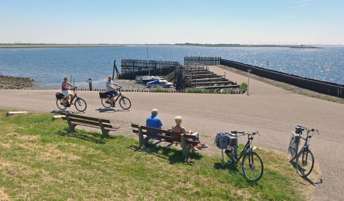
These hiking trails take you to "unknown" places via fun elements and you get to know the landscape and the rich culture (history) of Poortvliet. This short themed walk (detours) is signposted by green signs with yellow direction arrows with an icon of the Saint Pancratius Church!
About this walk Tholen
For this walking route (black line on the map below) you follow the green signs with the yellow direction arrows with the icon of the Saint Pancratius Church. The length is 5,2 km. You can also extend the route via the other (junction) numbers of the walking network.
The seigniory of Poortvliet is first mentioned in archival records in 1200. In 1203 there is mention of Lambertus, castellanus (lord of the castle) de Portvliete. His former castle was located to the west of the church near the vliedberg excavated in 1853/1854 at the current Prins Bernhardstraat.
The first part of the place name, port or port, may indicate a port. Vliet refers to flowing water. Although the village is now far from the water, it originated in an intrusion channel of the Pluimpot. Deestraat follows the northern bank, Stoofstraat follows the southern bank of this channel.
The hamlet of Oud-Kerkhof on the border with Tholen is probably the oldest residential area and the village of Poortvliet itself was only created after the damming of the burglary channel in the 11th or 12th century.
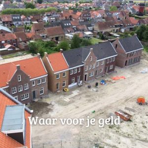
Before the municipal reorganization on the island of Tholen on 1 July 1971, Poortvliet was an independent municipality with an area of approximately 3136 ha. About 1700 inhabitants live on this territory. In addition to the village of Poortvliet, there are the hamlets: Kruytenburg, Strijenham, Oud-Kerkhof, de Rand and Malland.
Starting point: car park St. Pancratius Church
Height: 5,2 km
Signage: Green signs with yellow directional arrows with an icon of the Saint Pancratius Church